ESA’s Bold Mission to Measure Earth’s Lungs from Space
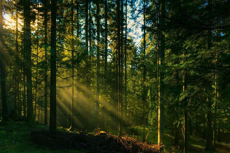
When we think of forests, we picture green canopies, towering trunks, and serene wildlife. But beneath that beauty lies something even more important—carbon. Trees play a vital role in capturing and storing carbon dioxide (CO₂), a major greenhouse gas driving climate change. Understanding how much carbon is locked away in forests can help us monitor climate health and take action.
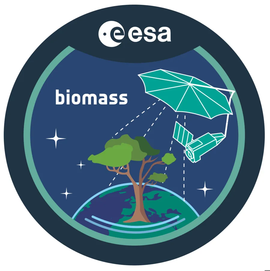
That’s where ESA’s Biomass satellite mission comes in—a revolutionary project that will measure the carbon stored in the world’s forests from space like never before.
Why Is Biomass So Important?
Forests are Earth’s natural carbon sinks. Through photosynthesis, trees absorb CO₂ from the air and convert it into wood, leaves, and roots. This carbon is “stored” in the trees, helping to reduce the concentration of greenhouse gases in the atmosphere.
But when forests are cleared or burned—or even when they degrade from disease or drought—this stored carbon is released back into the air. Monitoring these changes is vital. Without accurate data, we can’t fully understand how forests are helping (or failing) to offset climate change.
Unfortunately, measuring forest biomass (the total amount of organic material in trees) is extremely difficult, especially on a global scale. Traditional ground surveys are slow and limited. Satellite images from space often only show the tops of trees—not what lies beneath.ion that still influences how we name celestial bodies today.
What Is the Biomass Mission?
To solve this, the European Space Agency (ESA) is launching the Biomass satellite in 2025. Its mission: to map the amount of biomass in Earth’s forests and calculate how much carbon is stored in them—accurately and globally.
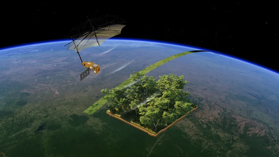
Biomass will be the first satellite to carry a P-band synthetic aperture radar (SAR), a powerful radar system that can penetrate through thick forest canopies and bounce signals off trunks and branches. This radar can “see” the dense wooden parts of trees, which hold most of the carbon.
This is a game-changer.
Instead of estimating forest carbon based on canopy images or patchy field studies, Biomass will give us consistent, detailed, and reliable global data—from tropical rainforests to boreal woodlands.s across it.
How Will It Work?
The Biomass satellite will orbit Earth at an altitude of around 660 kilometers and scan forests using its massive 12-meter radar antenna. The P-band radar emits long-wavelength signals that:
- Penetrate through leaves and smaller branches
- Reflect off thicker tree structures (like trunks and large limbs)
- Provide 3D images of forest structure
By measuring how much of the signal bounces back and how it changes over time, scientists can calculate:
- Tree height and density
- Volume of biomass
- Carbon content
The satellite will complete a full scan of Earth’s forests every 6 months over a 5-year mission, offering an unparalleled view of forest changes and carbon fluctuations over time.scopes are completely safe for solar viewing and do not require additional filters. However, they are more expensive and mostly used by dedicated solar enthusiasts or in observatories.
Why Does This Matter?
The data collected by Biomass will benefit scientists, governments, and conservationists worldwide in several key ways:
1. Tackling Climate Change
By knowing how much carbon forests are storing—and how this changes—we can better track Earth’s carbon balance. This helps improve climate models and informs international agreements like the Paris Agreement.
2. Monitoring Forest Health
Biomass can detect when forests degrade or regrow. It will help identify illegal logging, deforestation, and forest fires, enabling quicker and more effective responses.
3. Supporting Environmental Policy
The satellite’s data will support the REDD+ initiative, which encourages developing countries to reduce emissions from deforestation and forest degradation. Biomass will provide the scientific evidence needed to assess and reward progress.
4. Filling Critical Data Gaps
Until now, there’s been no global system that could accurately measure above-ground biomass. Biomass changes that—creating the first consistent worldwide map of forest carbon.rescent-shaped suns on the ground during an eclipse.
A Technological Marvel Built in the UK
The Biomass satellite is a triumph of British engineering. It’s being built by Airbus Defence and Space at their UK site in Stevenage. The UK’s role has been pivotal, not only in building the spacecraft but also in developing the science behind the mission.
The project was inspired by Professor Shaun Quegan, a scientist at the University of Sheffield and the National Centre for Earth Observation. His vision and research helped shape the mission from its earliest days.at the internal components.
When Will It Launch?
Biomass is currently scheduled for launch in April 2025 aboard a Vega-C rocket from the Guiana Space Centre in Kourou, French Guiana. Once in orbit, it will begin transmitting data back to Earth, providing scientists with a stream of insights about our planet’s green lungs.
The Big Picture: Protecting Our Planet
As climate change accelerates, it’s more important than ever to understand how natural systems like forests are responding. Will they continue to absorb carbon and help slow warming? Or will they become carbon sources and speed things up?
ESA’s Biomass mission will help us answer these questions—not with guesses, but with hard data. It represents a leap forward in how we study our planet and protect it for future generations.
Biomass is more than just a satellite. It’s a tool for understanding Earth’s climate engine. It’s a bridge between space science and forest conservation. And it’s a bold step toward a more sustainable future.
By weighing the world’s forests from above, the Biomass mission will shine light on one of the most important—and invisible—parts of our planet’s carbon story.